02/26/2024.
I spent the afternoon on Salisbury Hill, which, as far as I am concerned, is an integral part of the Newark Earthworks. There are just too many amazing connections.
Here's the relief map of Salisbury Hill.
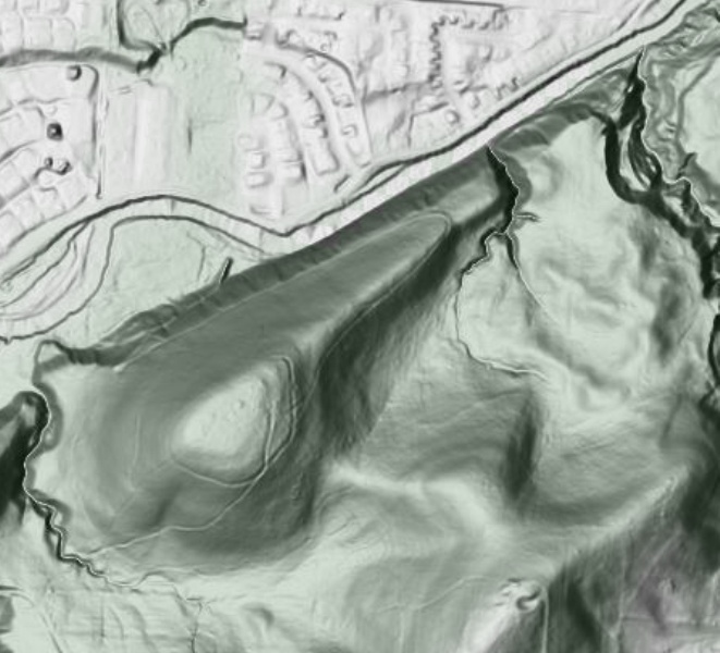
It points in the same direction as the Octagon, within about 0.5° or so. It is my guess that, since this was here long before the Octagon, the Native Americans noticed this first when it came to the cycle of the moon. This may even have sparked Newark becoming the Valley of the Moon.
Here's a topographic map.
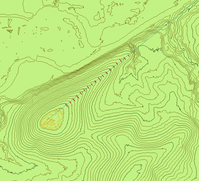
Relief lines are at 5 feet, except at the exact top, where they are at 1 foot intervals. I've added a least squares best fit to the direction that the hill points at. In addition, the peak along the spine is rather broad. I've marked perpendicular lines within 1 foot of the top of the spine.
Here's a shot along the mostly flat top.
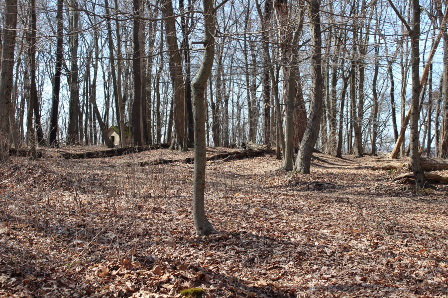
That high spot in the middle is the remains of a burial mound that used to be at the top. Looking at the first picture, that small bit of relief shows up. In the background, you can see an old salt box (or something similar).
This is a wonderful spot to see the Newark Earthworks (even better without the trees).
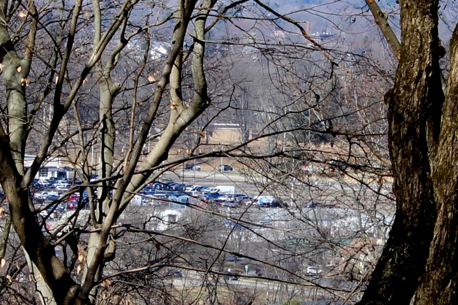
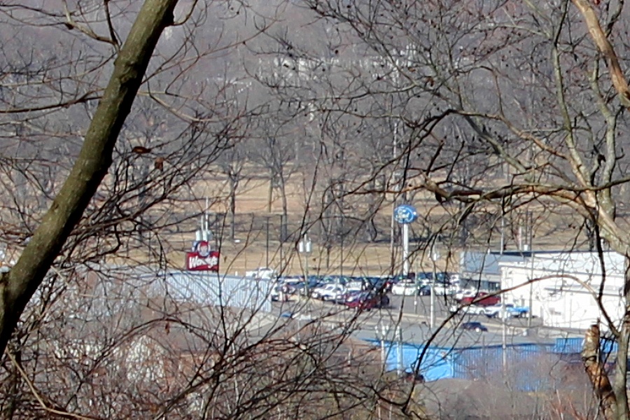
One can easily see the Great Circle Museum (right in the middle of the picture), if you know where to look and can find a gap in the trees. Without the trees, even the Octagon and Wright Square would be visible.
You can see the Great Circle itself just above the Ford and Wendy's signs.
This is the Whittlsey map (mid-1800s) of Salisbury Hill.
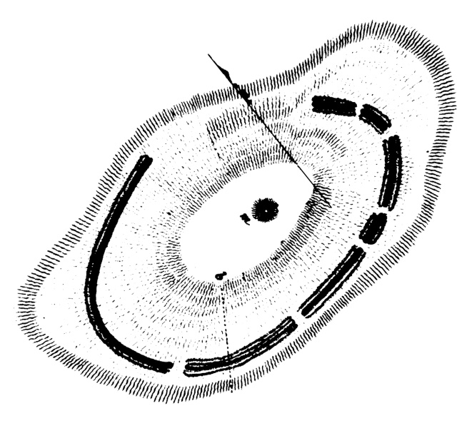
It used to have a hilltop enclosure. You can see that the enclosure was open towards the Octagon and the Great Circle. It also shows the burial mound. The arrow points to the center of Observatory Circle; that line is perpendicular to the Hill and to the line of the Octagon. That also means, though, that it runs in the same direction of the High Bank Octagon. It shows a profound connection with the Scioto/Chillicothe Earthworks. Newark and Chillicothe are mundi geminati.
This picture shows what remains of the hilltop enclosure along the spine of the Hill.
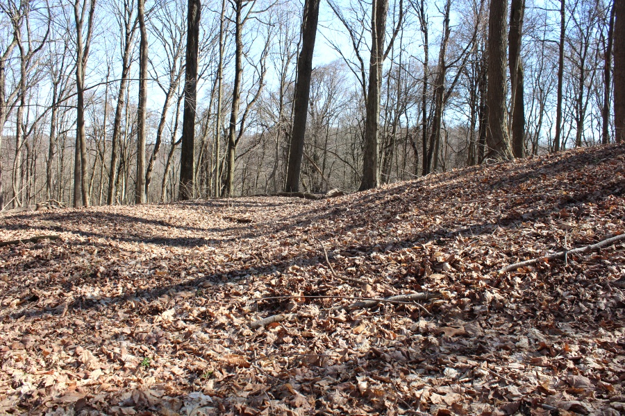
If you look back at the first picture, you can see hints of that hilltop enclosure still existing (though an old road or two have co-opted it in a few places).
Here is the look down the spine.
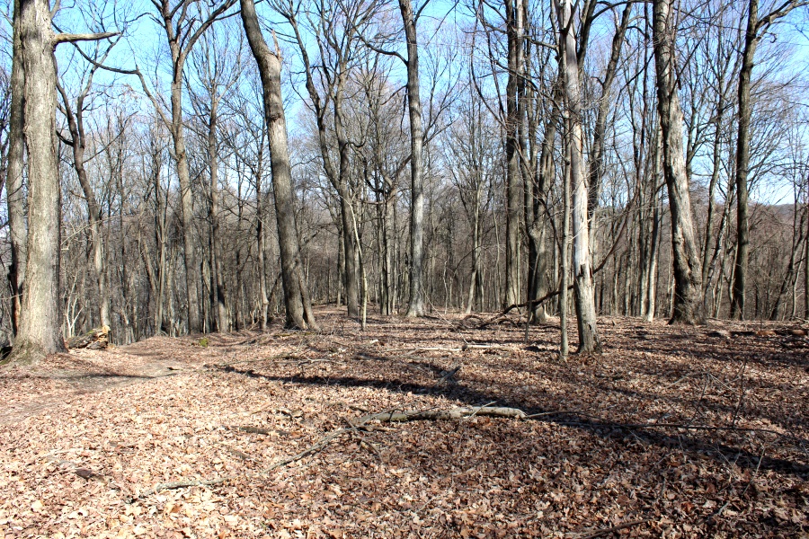
It descends at about a 7° angle. (That angle is much more obvious in person.) You can see that it is pretty broad. That said, it is well-defined. If you watched a Major Standstill moonrise from here, you would see the moon rise from the middle and head up to the right, even with the trees. It would be tempted to lead a night-time expedition to witness such a moonrise.
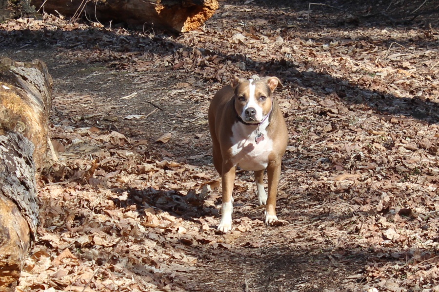
And here is my hiking companion, Adelaide.
This is steep-walled creek chasm at the very end of the Hill's spine.
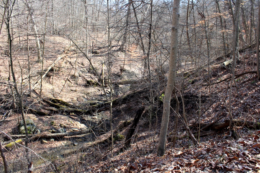
If you take the line that runs from Dugway Hill, through the center of Observatory Circle, and through the center of the Great Circle, it ends here. It's just one more aspect that makes the design of the Newark Earthworks so special.